

Following on nicely from the Travel Wingspan game we now look at the travel range based on latitude (the north / south differential) which we will call ‘Travel Height’.

Latitude is the measurement of distance north or south of the Equator. It is measured with 180 imaginary lines that form circles around the Earth east-west, parallel to the Equator. These lines are known as parallels. A circle of latitude is an imaginary ring linking all points sharing a parallel. The Equator is at 0 degrees and the poles are at 90 degrees, therefore the maximum latitudinal distance (or travel height!) is 180 (degrees) between the North to South pole.
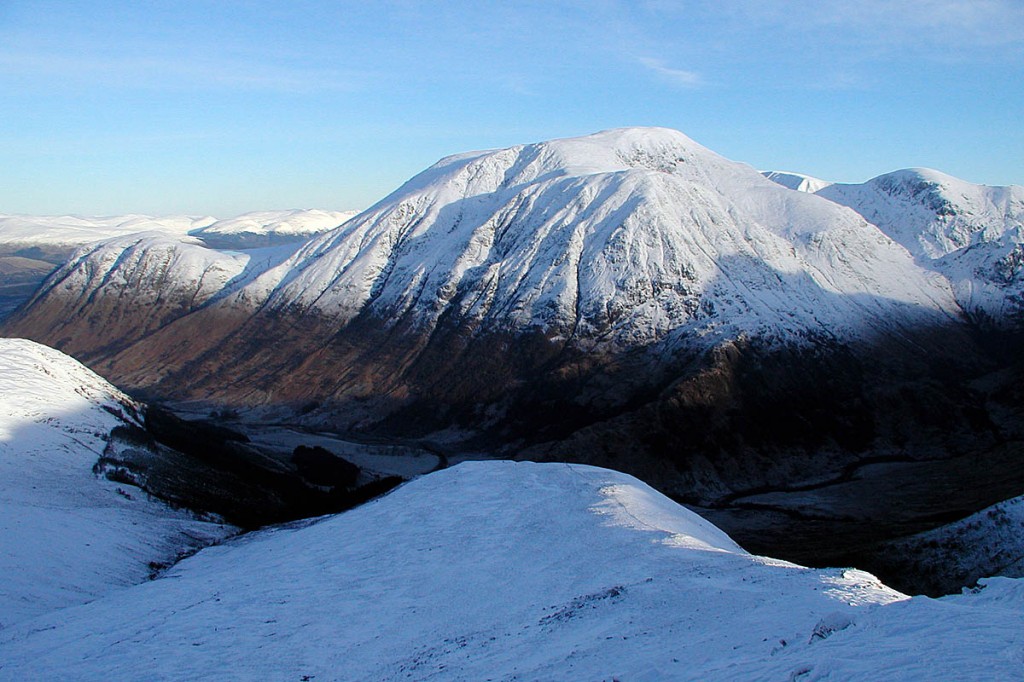
For the purposes of this game it is simply the total of your most northern and your most southern latitudes. For myself it is 64 degrees North in Reykjavik, Iceland and 46 degrees South in Invercargill, New Zealand. This gives me a height 110 and putting me in the Kilimanjaro category, certainly room for improvement! So lets see if anyone can hit the height of Olympus Mons!

Note: If you have never been to the southern or northern hemisphere (or left your home hemisphere) you must take away the location’s latitude that is nearest to the equator. For example one submission was Reykjavik, Iceland (64N) and Surat Thani, Thailand (9N) therefore the score here is 55 NOT 73!

You beat me! I’m Reykjavik (well I think I’ve been slightly north but who can remember niche Icelandic names!) and Queenstown.
LikeLike
Your phone might be able to tell you the location assuming you took some photos at the nice Icelandic town!
LikeLike